DroneWare delivers custom UAV software designed to automate drone control and advanced sensor data processing. Our solutions minimize human intervention, optimize operational workflows, and ensure high-precision data output. DroneWare develops advanced drone software built on open-source SDKs, enhanced with powerful analytics, intelligent route planning, and real-time data processing. Our solutions are designed to help businesses unlock the full potential of UAV technology through efficient automation and actionable aerial insights.
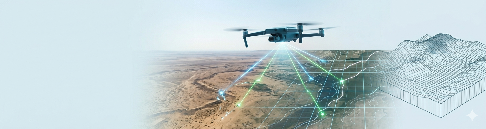
We develop software that enables the creation of accurate 2D and 3D maps by collecting real-time data from aerial imagery, combining images through stitching techniques, and generating terrain models. Our solutions support a wide range of uses, from civilian applications such as land management and construction to exploration activities.
Our custom software will help optimize your crop planning and provide accurate yield forecasts. In particular, DroneWare’s solutions for field mapping, NDVI analysis, and advanced analytics enable you to make data-driven decisions while reducing potential business risks.
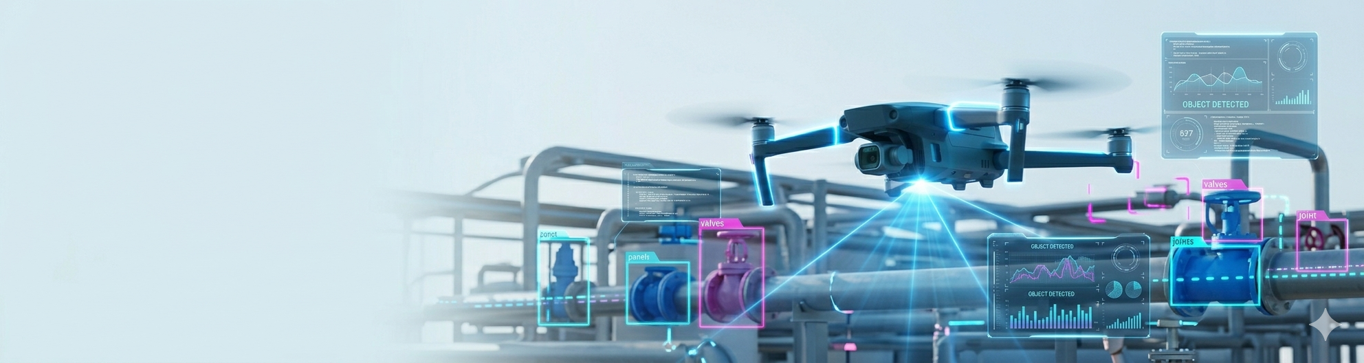
With our support, you can deploy an advanced UAV solution that delivers analytical data and meaningful business insights. We incorporate computer vision and machine learning algorithms into your system, enabling it to automatically identify patterns, recognize objects, and generate reports from real-time data.
The DroneWare team develops a custom software solution that delivers end-to-end control over drone hardware, including flight stabilization, payload management, and sensor integration. This approach allows you to configure and manage your UAV fleet according to the specific needs of your business.
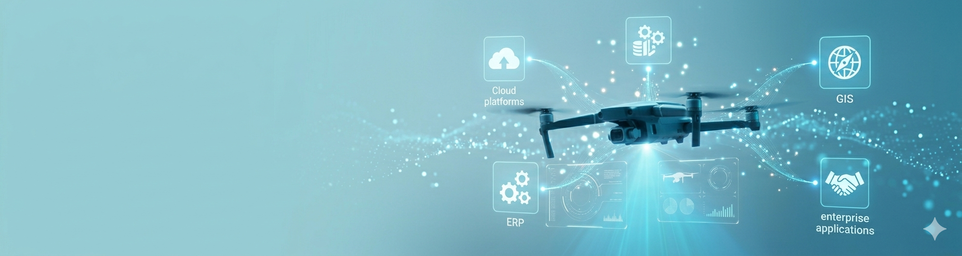
To ensure your drone fleet works seamlessly within your broader ecosystem, we can integrate it with your existing corporate systems, including ERP, GIS, cloud platforms, and other solutions. This integration can be implemented through APIs, middleware, or native SDKs, enabling smooth and timely data exchange.
To enhance inspection accuracy in your industry, you can rely on us to develop a custom solution for automating drone missions. We can deliver tailored systems for infrastructure, energy, and asset inspections, featuring real-time defect detection, secure data storage and transmission, and automated report generation based on the collected data.
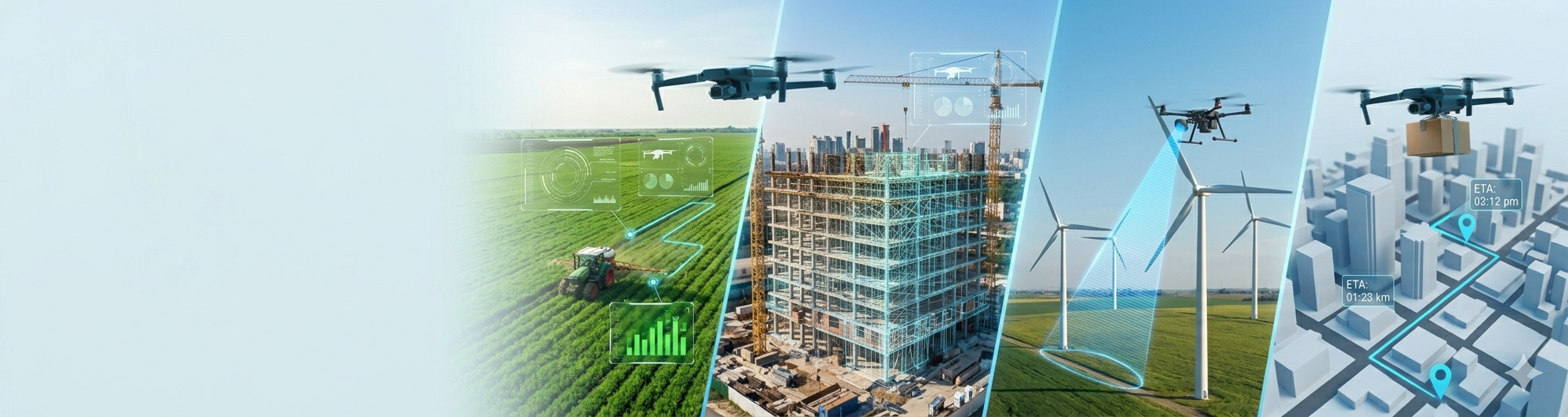
Improve crop monitoring efficiency, produce more accurate yield forecasts, and generate high-resolution maps with comprehensive NDVI analysis and multispectral imaging.
Achieve comprehensive oversight of construction and maintenance activities, carry out structural inspections, and generate detailed 3D site models.
Lighten the workload for your operators by enabling intelligent route planning, automating cargo tracking, and supporting last-mile delivery.
Conduct remote inspections of pipelines, power lines, and solar or wind farms using drones and specialized software, ensuring that even the smallest defects are detected.
Enable real-time collection and analysis of environmental data to track the health of protected areas, and take proactive measures in response to natural disasters.
Let’s bring your vision to life!
Whether you’re ready to start a new project, have questions about our services, or need assistance with your current website, our team is here to help.
Leof. Andrea Siggrou 224,
Kallithea 176 72
Athens, Greece
info@drone-ware.eu
+45 916 890 43